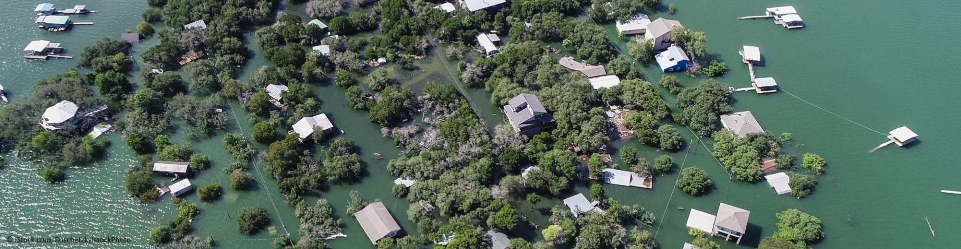
The Lumikko platform delivers specific and unique information on the risk of flooding. It performs its risk assessments using internally developed models which analyse historical data and satellite images together. The service utilises Copernicus data and can be used for monitoring potentially endangered areas. Moreover, it will also provide customers with quantified risk assessment maps. Lumikko offers improved risk assessments because, in addition to historical data, it takes into account the current trends in climate change and the impact of recent human activities.
Expertise
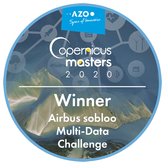
“Our team of experts chose Lumikko to be this years Airbussobloo Multi Data Access Challenge winner for number of reasons. First of all, ability to leverage Airbus and Copernicus Data was clearly demonstrated, in terms of business credibility, Lumikko is able to provide automatic flood prediction to insurance and decision makers industries regardless of world location. Last but not least, we believe that Lumikko have a real market potential and we are looking forward to work with them in the nearest future.” – Robin Expert, Airbus Defense and Space
Lumikko Remote Sensing Solutions
Paul van der Rijt, Nafiseh Ghasemi
ppjvanderrijt@gmail.com


