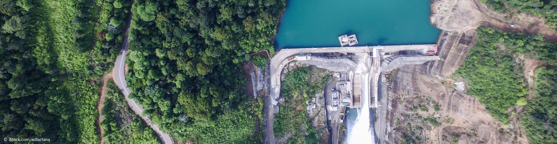
Companies that deal with water supplies or hydropower need to know how much river water inflow they can expect in the next operational period. Currently, they rely on historical data to estimate inflow and its impact on their plants. Due to climate change, however, this approach has become obsolete, creating inefficiency in water usage or, in extreme case, even service interruptions.
Waterjade® processes big data from satellite images, in-situ stations, and numerical weather predictions. It features a new modelling approach that combines artificial intelligence and physical models to predict water inflow based on weather developments in upstream catchment areas.
Sentinel-1 and Sentinel-3 data is used to infer the water level of rivers and streams, and Copernicus C3S to produce seasonal forecasts. The results include continuous remote monitoring of river levels through satellite data and predictions of river discharge for upcoming periods according to the weather recorded in upstream catchment areas.
Expertise
“Waterjade was selected as the winner of the EC’s “Blue Economy Challenge” because it demonstrated a very convincing way to use Copernicus data for the development of innovative services that combine a specific application orientation with a strong scientific and technological basis. The monitoring of rivers is set to become an increasingly important requirement due to climate change related environmental and thus economic and societal impacts. Waterjade has the potential to considerably improve our knowledge of the negative effects that can harm these sensitive ecosystems.” – Martina Sindelar, Policy Officer, DG DEFIS, European Commission (EC)
Learn more and read the latest blog article.
Waterjade by MobyGIS
Matteo DallAmico
matteo.dallamico@waterjade.com


